


Trek to the Summit of White Mountain Peak — Mission Accomplished
Related: hard core, Inyo National Forest, peak bagging, White Mountain Peak, White Mountains
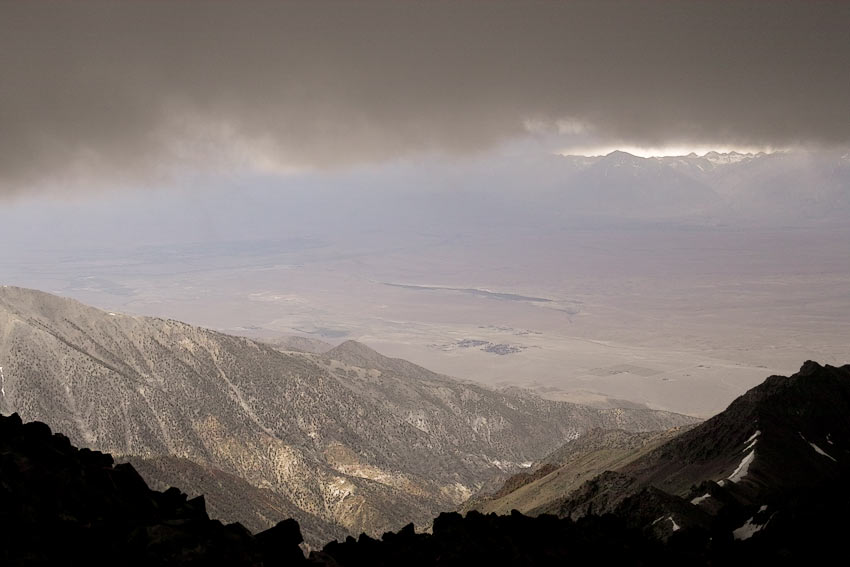
Mission accomplished— the first annual Trek to the Summit of White Mountain Peak. From the Owens River at ~4070' elevation to the summit of 14,252 White Mountain Peak, at about ~65 miles round trip, with ~14,760 feet of ascent (and descent).
Vertical ascent and descent
With some dips in the middle for a total gain (and descent) of 14,760 vertical feet in one day (which might be conservative). In road cycling terms, that is equivalent to perhaps 18,000 vertical feet, since the grades were up to 30% (averaging 18-20% for significant lengths), and the often loose surface makes for a much more difficult effort than a paved road. Yes, we did have to walk-a-bike up the really steep grades, but up to 25% is doable on non-slip surfaces.
A manual calculation of the intervening minor summits and dips confirms the 14,760 figure. The Garmin Edge 500 proved unrealiable during the rid, but it reported 14,230 feet ascent when the software worked properly on a 2nd computer.
Full report coming
See my initial write-up, full report to follow soon.
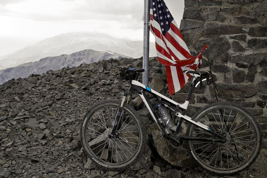
The two of us did not summit together, so summit photos are all self-taken, which means I don’t have a good summit shot of myself. For photographers— I used the Sigma DP2x digital camera, to my disappointment, but at 350 grams, it was practical to carry it in a jersey pocket.