

Designed for the most demanding needs of photographers and videographers.

Connect and charge all of your devices through a single Thunderbolt or USB-C port.
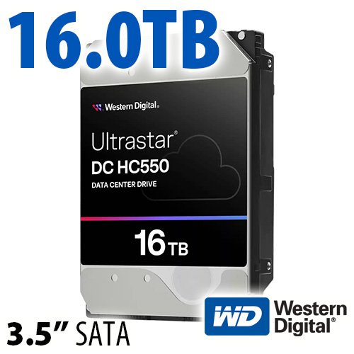
$220 SAVE $130 = 37.0% Western Digital 16.0TB Western Digital Ultrastar DC HC550 3.5-in… in Storage: Hard Drives
|

|

|
|

|
Everest Challenge Stage 1 Directions (2011)
Detailed route and turn map for 2011 Stage 1.
Implications of the route reversal for 2011
See the Everest Challenge 2011 Update 6 notes. The course reversal was forced by county officials a week before the race.
The route reversal means that the Bishop Creek / South Lake climb is now the FIRST climb of the day. In past years, it was the last climb, which meant it was very hot (usually).
Key points:
- Temperatures ascending and descending to/from South Lake could be cool to the point of being cold and thus sweat-soaked racers might want a vest for the South Lake descent.
- The very fast and very long descent from South Lake is now part of the race timing, so plan acccordingly, such as ingesting a suitable amount of fuel and liquid prior to descending. The very high speeds are also worth noting; stay alert.
- The 4.3-mile neutralized section FROM SWALL MEADOWS RD. TO US395 should be planned for in terms of effort and rest.
- Everest Challenge times for 2011 are not directly comparable to previous years; the distance has been shortened and the South Lake descent is now timed. Also, the Bishop Creek / South Lake climb is now made with cooler temperatures, possibly 50° F cooler, which can have a large impact on ascent time, not to mention the much fresher legs.
Turn sheet
Summits in blue.
Turn sheet below is as supplied by race officials as of Sept 22, 2011.
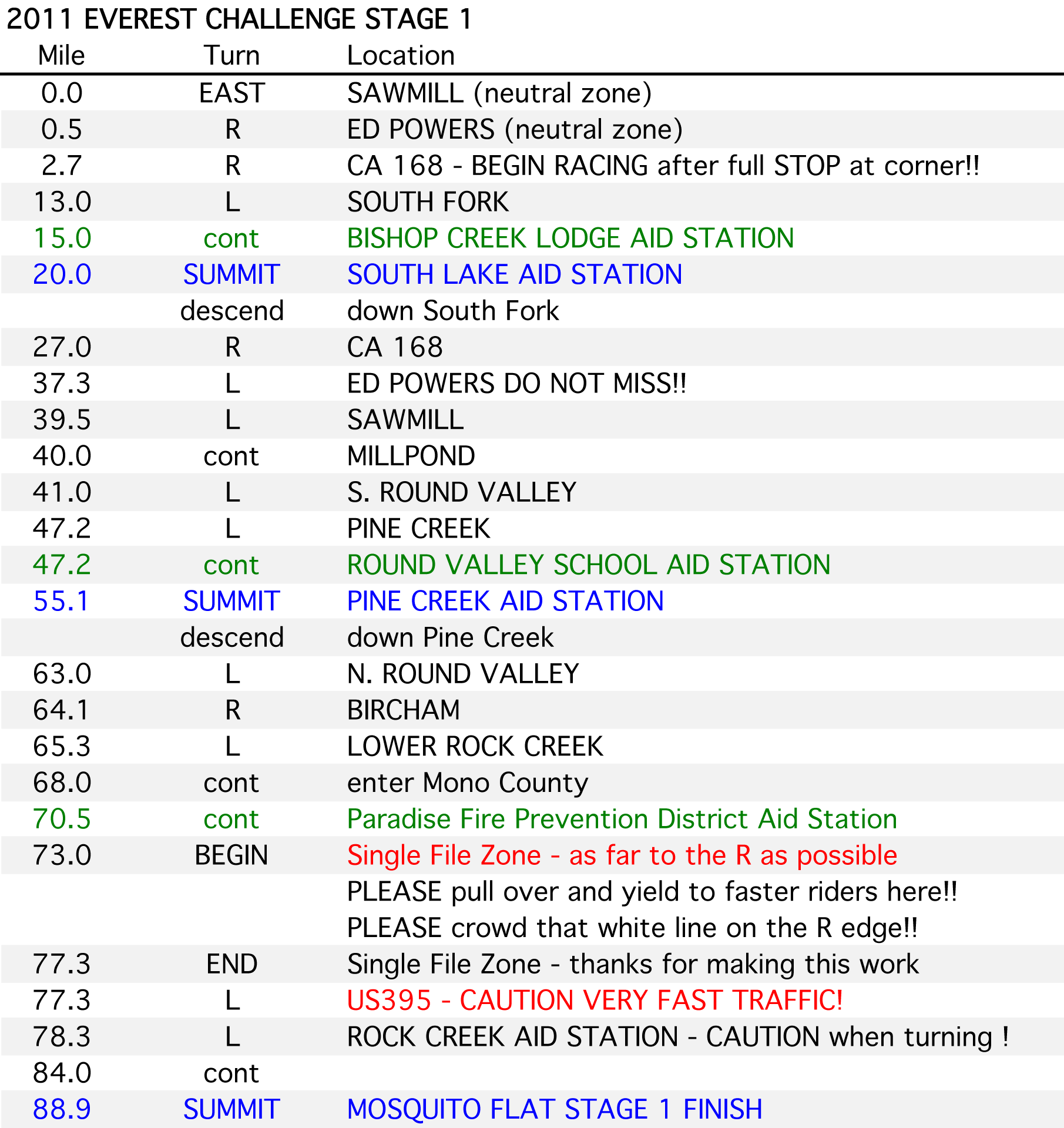
Detailed route and turn map for Everest Challenge 2011 Stage 1
View all handpicked deals...
Seagate 22TB IronWolf Pro 7200 rpm SATA III 3.5" Internal NAS HDD (CMR)
$500 $400
SAVE $100
Seagate 22TB IronWolf Pro 7200 rpm SATA III 3.5" Internal NAS HDD (CMR)
SAVE $100
