

Designed for the most demanding needs of photographers and videographers.

Connect and charge all of your devices through a single Thunderbolt or USB-C port.
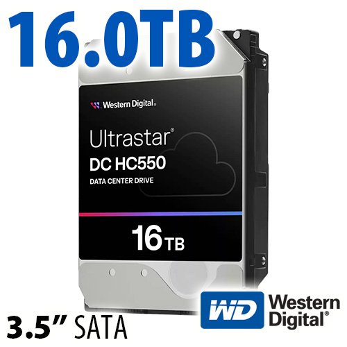
$220 SAVE $130 = 37.0% Western Digital 16.0TB Western Digital Ultrastar DC HC550 3.5-in… in Storage: Hard Drives
|
|

|
|

|
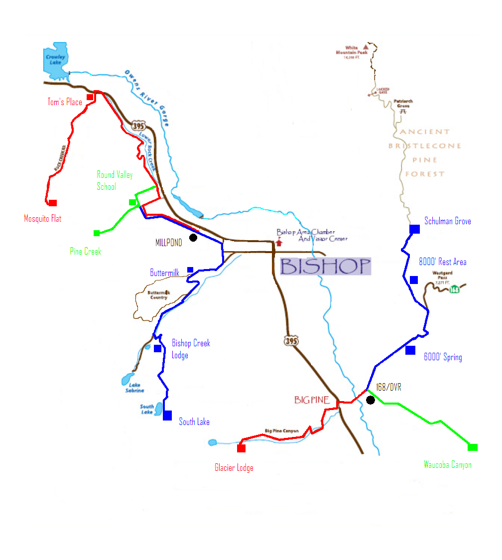
Everest Challenge Overall Route Map (2011)
Pages that follow detail each day’s elevation profile, and there is a page for each climb..
Total ascent
There is a fair distance between climbs on relatively flat roads with significant elevation gain that accrues to make the total reach the 29,000+ figure.
Reference elevations and distances
Per spec sheet.
See also the detailed stage 1 and stage 2 route descriptions.
- Tom's Place 7100' to Mosquito Flat 10,250' = 10.6 miles
- Round Valley School 4450' to Pine Creek summit 7425' = 7.9 miles
- Ed Powers/168 4450' to South Lake 9835' = 17.2 miles
- Crocker Rd at cemetery ~4000' to Glacier Lodge 7800' = ~9 miles
- Crocker/395 3940', and 10.4 miles to Glacier Lodge summit.
Overall route map
Route map for the Everest Challenge 2-day stage race (2010 and earlier)
Day 1: Rock Creek, Pine Creek , Bishop Creek/South Lake
Day 2: Big Pine/Glacier Lodge, Death Valley road/Waucoba Canyon, Schulman Grove
Day 1: Rock Creek, Pine Creek , Bishop Creek/South Lake
Day 2: Big Pine/Glacier Lodge, Death Valley road/Waucoba Canyon, Schulman Grove
View all handpicked deals...
Seagate 22TB IronWolf Pro 7200 rpm SATA III 3.5" Internal NAS HDD (CMR)
$500 $400
SAVE $100
Seagate 22TB IronWolf Pro 7200 rpm SATA III 3.5" Internal NAS HDD (CMR)
SAVE $100
